


With 20+ years of experience, Landscan is a name you can trust for expert land surveying backed by proven results and a solid reputation
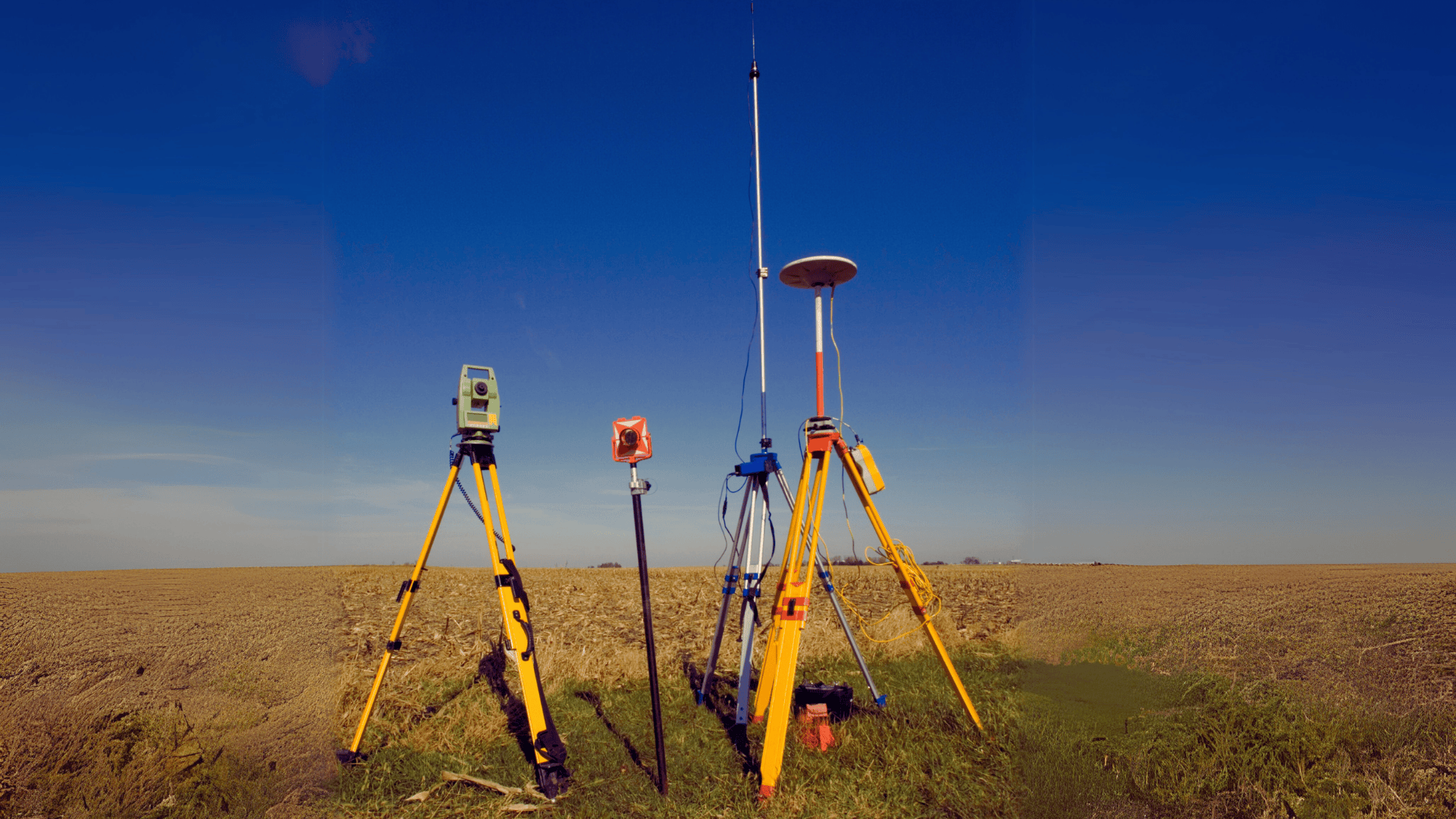
Get precise, reliable land surveys across Kenya. Our licensed team delivers fast, accurate, and legally compliant results for property owners and developers.
Ensure your construction starts right. We deliver accurate site layouts and engineering surveys that keep your project on track and within regulations
We provide detailed cadastral, boundary and topographical surveys to protect your property rights, avoid disputes, and support smooth land transactions and development planning.
Capture detailed aerial imagery and spatial data with our drone and GIS solutions. Ideal for planning, analysis, and precision land management.
We’re a licensed Kenyan firm with deep local knowledge. Our goal is simple: provide honest, professional, and reliable surveying services.
Land surveying, Physical Planning & Mapping Solutions
Precision. Innovation. Trust — Over 20 Years of Land Surveying Excellence
We pride ourselves in being an innovative and quality-driven company with over twenty years of experience in delivering exceptional land surveying, physical planning and mapping solutions.
Our longstanding expertise and commitment to excellence have positioned us as a trusted service provider in the industry.
At A Glance...
Landscan Associates Company Limited is a private Surveying and Physical Planning consultancy firm, registered in Kenya in 2003 as a business name, and incorporated as a Limited Liability company in the year 2010.
Landscan is an innovative and quality driven company that has been in existence for over twenty years and has experience in the provision of land surveying, mapping and physical planning to both public and private sector clients in a wide range of survey and planning areas covering engineering, topographical, cadastral, GIS, Sectional Property and digital mapping services.
To provide accurate, timely and effective land Surveying and Mapping Services using modern technology and skilled professionals, while upholding integrity, professionalism and sustainability.
To be the most Reliable and Innovative Land Surveying and Physical Planning partner in Kenya and East Africa.
- Accuracy
- Integrity
- Professionalism
- Innovation
- Timeliness
Why choose us
We are Experts in Land surveying, Mapping Solutions & Physical Planning
- Modern Tools: GNSS, RTK GPS, Total Stations, Drones and GIS Software.
- Fast turnaround and affordable pricing.
- Legal and regulatory compliance guaranteed.
- Guaranteed accurate and legally compliant outputs
- Licensed and experienced professionals
- Client centered approach.
A Trusted Consultant in provision of quality land surveying, geo-information and mapping services
What we do best
Our Services
At Landscan Associates Co. Ltd, we provide a wide range of land surveying and mapping services tailored for individuals, developers, public institutions, and NGOs
Land Surveying Services
- GNSS Surveying & Controls
- Cadastral Surveys (including subdivisions, sectional properties and boundary re-establishment)
- Topographical Surveys
- Engineering/Construction Support (site surveys, setting out)
GIS & Mapping
- Digital Mapping
- GIS Database Creation
- Geo-referencing & Digitization
- Web map development
Sectional Property Surveys
- Building unit division
- Long-term lease documentation
- Lease plan creation
Title & Documentation Coordination
- Title Deed Procurement
- Certificate of Lease
- Conveyancing support
Need accurate and reliable survey data for your project?
