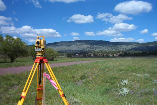
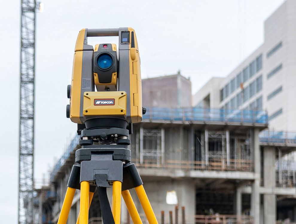
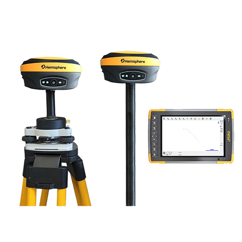
At Landscan Associates, we invest in modern, high-precision surveying and mapping equipment to ensure accurate and efficient results. Our tools include Total Stations, GPS/GNSS receivers, drones for aerial surveys, and advanced GIS software. This state-of-the-art technology allows us to deliver reliable data, reduce turnaround time, and meet the diverse needs of our clients across various terrains and project types.